Cyvl, a Boston based company, helps cities automate pavement condition assessment, monitor right-of-way assets, and translate their data into insights with real-world impact. Their end-to-end solution integrates vehicle-mounted mapping kits, machine learning, and an AI-enabled planning and analytics platform to streamline decision-making that informs maintenance optimization, maximized roadway budgets, and safer communities.

Transforming how cities monitor roads
Across the United States, municipalities face growing challenges maintaining aging road networks efficiently. Traditional manual inspections are slow, costly, and often inconsistent, leaving potholes, cracks, and other issues untracked until they become serious problems.
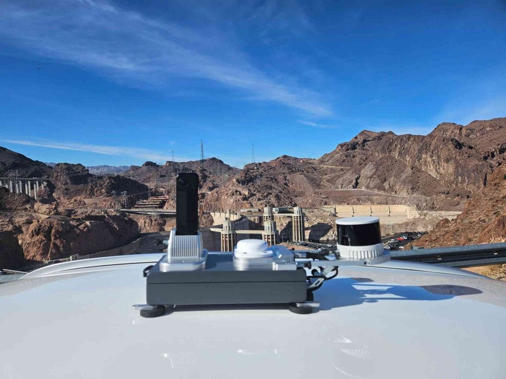
Cyvl addresses this by providing a mobile mapping solution that captures high-fidelity 3D and visual data of urban environments. Their platform automatically detects road defects, monitors urban assets, and provides municipalities with repeatable, objective, and actionable insights. The result is smarter, faster, and more data-driven decisions for safer and better-maintained streets.
Real-world challenges in urban mapping
Scaling road inspections comes with multiple operational and technical hurdles:
- Accurate and repeatable localization is critical for geolocating defects and comparing road conditions over time. Accurate measurement allow for faster, better targeted interventions and productivity increasing.
- GNSS degradation in dense urban environments caused by skyscrapers, bridges, and trees can compromise mapping accuracy.
- Long-duration robustness is required for multi-hour data collection over entire neighborhoods, over diverse traffic conditions and road types.
- Complex urban routes with overlapping trajectories and loops must be consistently mapped.
- High-quality 3D data is necessary for reliable road defect detection and urban asset extraction, even in the presence of moving vehicles, pedestrians, dense traffic, high speed areas, whatever the weather conditions.
How Cyvl Leverages Exwayz SLAM
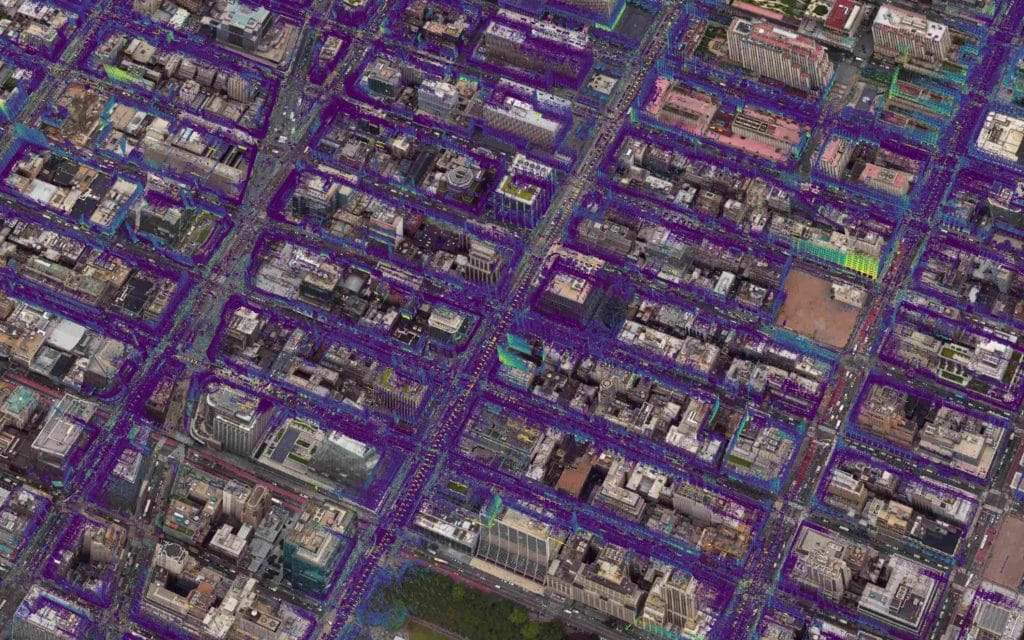
Exwayz SLAM engine enables Cyvl to overcome these challenges and deploy its solution at scale. By fusing cutting edged LiDAR-based SLAM with GNSS where it is available, Cyvl's mapping platform maintains centimeter-level of geo-referencing even when GNSS signals are partially degraded in dense city centers, under skyscrapers, or beneath trees. The SLAM system is robust over several hours-long drives, handling varying traffic conditions, vehicle speeds, and road types, which allows Cyvl to run multi-hour surveys with confidence.
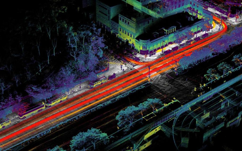
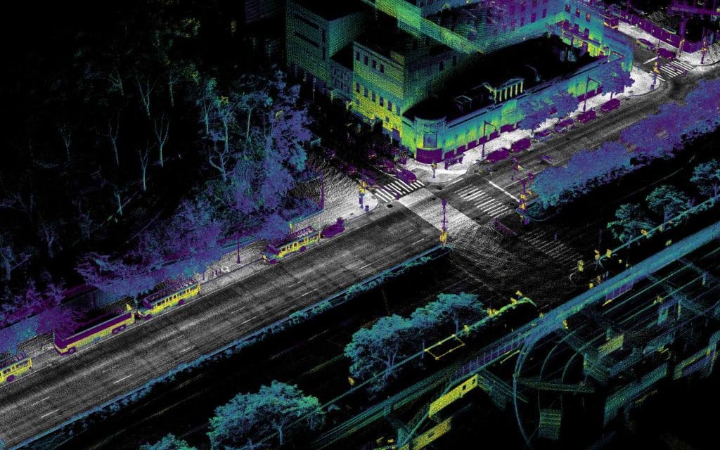
Complex urban routes with overlapping trajectories and repeated loops are also managed seamlessly, as the engine reliably detects and closes loops, ensuring globally consistent positioning across every survey. In post-processing, Cyvl leverages advanced dynamic object removal to produce clean, high-fidelity point clouds, filtering out vehicles, pedestrians, and other moving elements that would otherwise introduce ghost artifacts.
Thanks to this combination, Cyvl has mapped more than 200,000 kilometers across the United States, including major metropolitan areas where conventional mapping systems typically fail due to urban canyon effects. This scale of deployment allows Cyvl to deliver reliable, actionable, and repeatable insights for cities nationwide.
Delivering Scalable Insights for Cities
By combining Cyvl's automated inspection and analytics platform with Exwayz SLAM, municipalities gain access to scalable, precise, and repeatable infrastructure intelligence. Cities can:
- Identify and prioritize road defects faster and more accurately
- Maintain an up-to-date inventory of urban assets
- Compare road conditions across survey passes for long-term planning
- Optimize maintenance budgets and improve public safety
The collaboration allows Cyvl to transform how cities monitor, maintain, and invest in their road networks, turning raw mapping data into actionable, city-wide insights.
"Here at Cyvl, we've partnered with Exwayz to help power our SLAM pipelines to deliver robust, large scale, and highly accurate 3D point clouds that fuel our solutions for cities. Exwayz software is reliable and their support is top notch."Daniel Pelaez, CEO at Cyvl